
8-in-1 Handheld Digital Altimeter & CompassAmazon A+ Case Study
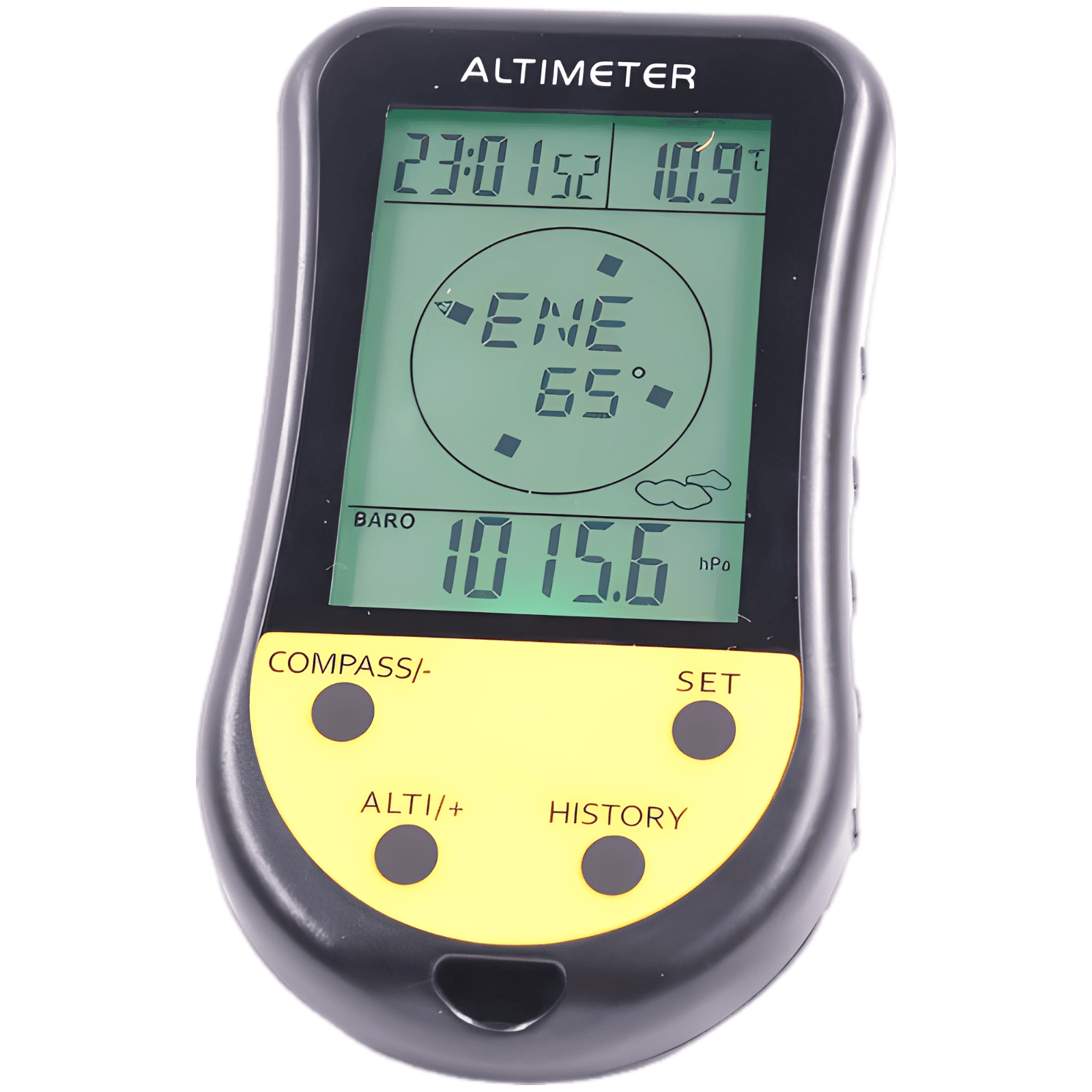
Consolidating eight vital outdoor readings into a single handheld unit, this digital altimeter combines an electronic compass, barometer, thermometer, weather forecaster, and timekeeper. Crafted from rugged ABS with high-visibility tactical accents, it keeps you oriented and prepared in any environment.
A+ Marketing Plan
Your Ultimate Backcountry Navigation Companion
Start from a Small Set of Product Inputs
Capture source image, product facts, and style.
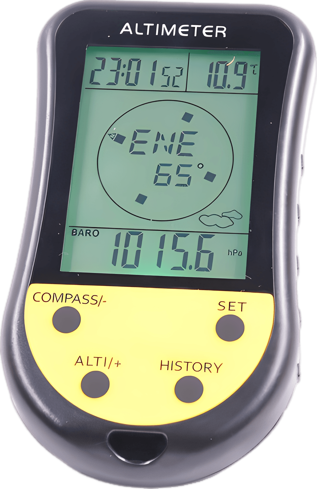
- Product title: 8-in-1 Digital Altimeter and Compass
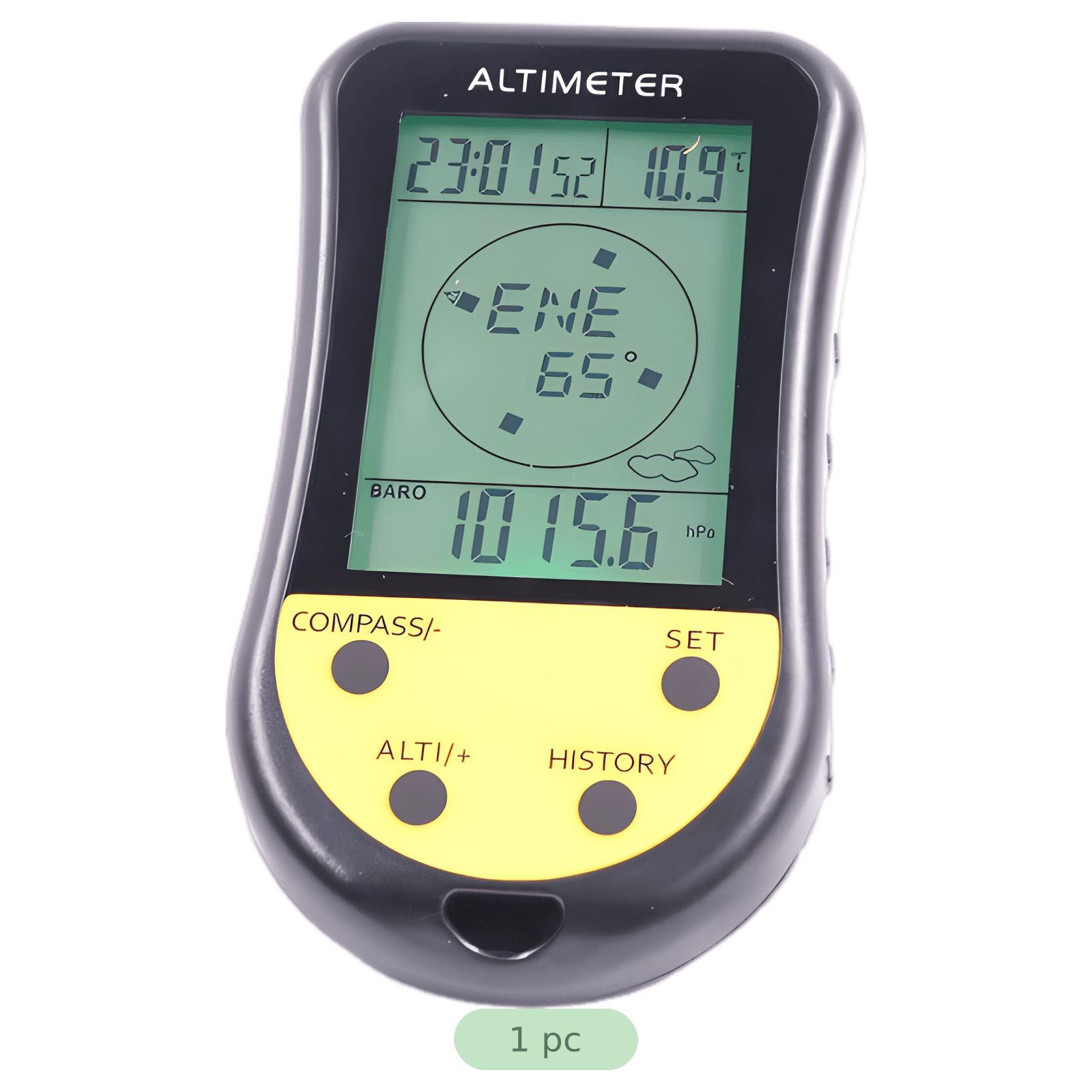
- Set details: 1 pc
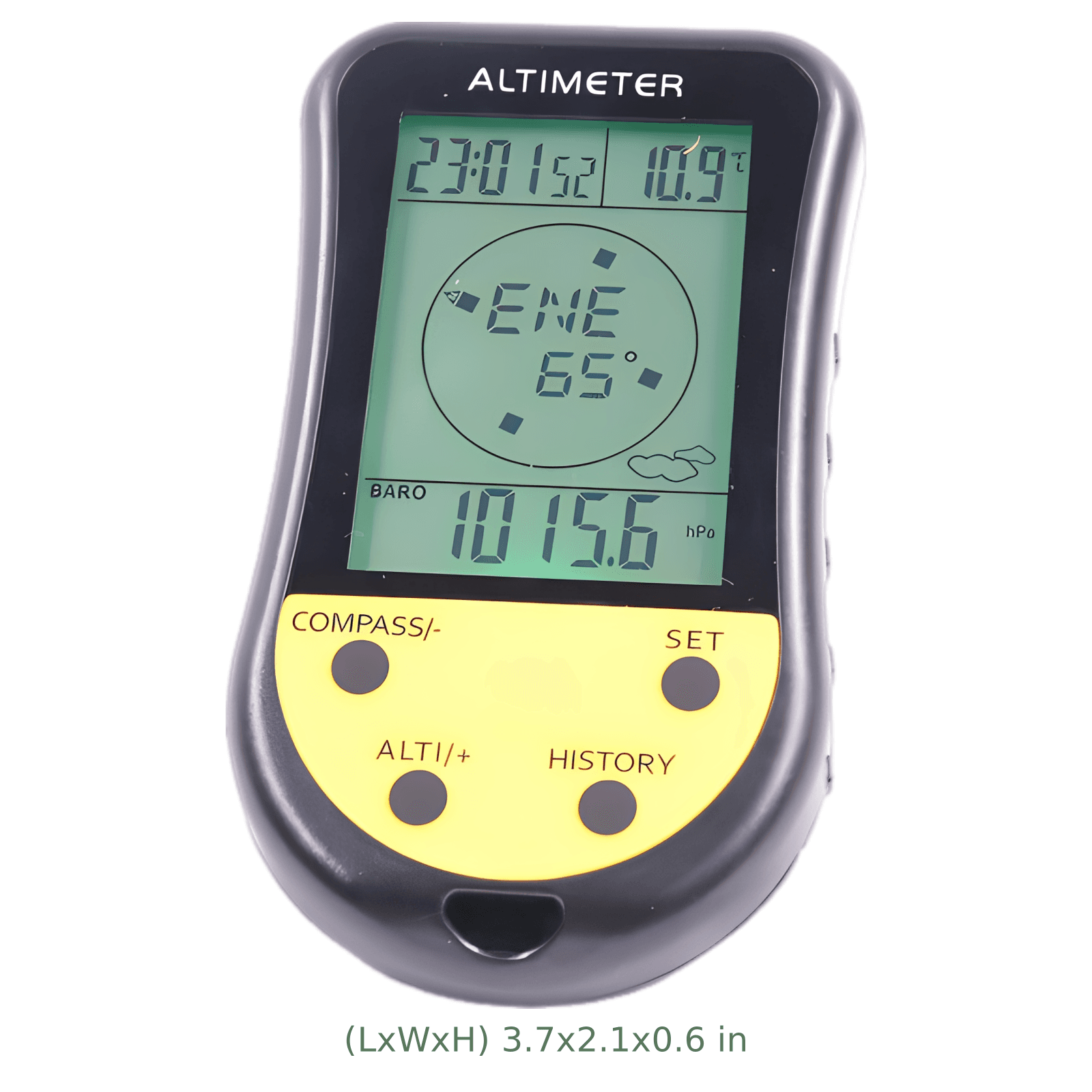
- Dimensions: 3.7 x 2.1 x 0.6 in
- Style judgment: Modern tactical outdoor aesthetic with highly functional high-contrast layouts.
Discover Search Terms and Read Purchase Intent
BeePOP expands the keyword set, completes keyword research, and identifies what buyers care about in real search demand.
| Keyword | Type | Monthly Search Volume |
|---|---|---|
| digital altimeter barometer | Core Functional Search | |
| handheld electronic compass | Primary Feature Search | |
| mountaineering hiking gadgets | Niche Application Search | |
| portable weather tracker | Utility Search Term |
Keyword Insight
Outdoor enthusiasts, mountaineers, and tactical gear users prioritize lightweight, multifunctional tools that consolidate safety checks (altitude, orientation, and barometric trends) to save space and weight in their packs.
Design the Marketing Strategy from Buyer Demand
BeePOP turns search and product understanding into audience definition, selling points, differentiation, and a conversion path.
- Target users: Avid hikers and backpackers navigating uncharted or remote backcountry trails, Mountaineers and high-altitude climbers tracking ascent rates and barometric pressure drops, Outdoor survivalists, campers, and travelers requiring offline compass and environmental readings
- Usage scenarios: Verifying route elevations and ascent paths during steep alpine climbing treks, Monitoring sudden atmospheric pressure changes to anticipate weather shifts at basecamp, Acquiring reliable heading references in dense forests without cellular signal dependency
- Pain points: Carrying multiple heavy, standalone gadgets that increase pack weight and gear clutter, Fragile equipment with low impact resistance that breaks during standard trail drops, Poor screen readability or overly complex operations on standard tracking units in cold conditions
- Core advantages: All-in-one 8-in-1 convenience including altimeter, compass, barometer, thermometer, time, and forecast, Durable ABS housing crafted to be both incredibly robust and comfortably lightweight for long journeys, Highly visible tactile button layout that allows swift navigation of parameters even with gloved hands
- Differentiation: Ultra-compact handheld profile (3.7 x 2.1 in) featuring a dedicated lanyard anchor for quick-clip accessibility, Crystalline, high-contrast digital screen optimized for swift, effortless readouts under changing natural light, Striking safety yellow identification zones that prevent accidental loss of gear in low-light environments
- Buyer focus: Accuracy of high-altitude measurements and real-time compass headings, Compactness and absolute ease of carrying during strenuous physical climbs, Logical button layout that does not require confusing multi-menu scrolling on the trail
- Main message: Consolidate your survival essentials with absolute data precision in the palm of your hand.
- Delivery method: Visually demonstrate the altimeter's real-world survival utility, validate its rugged build quality, and detail the clear layout of the multi-functional screen.
- Priority: First highlight structural and functional versatility, reinforce trail durability under harsh conditions, and conclude with transparent product package details.
Generate the Full A+ Plan
Based on the strategy layer, BeePOP defines how many images are needed, what each panel should communicate, and what conversion job each visual should perform.
Hero Image
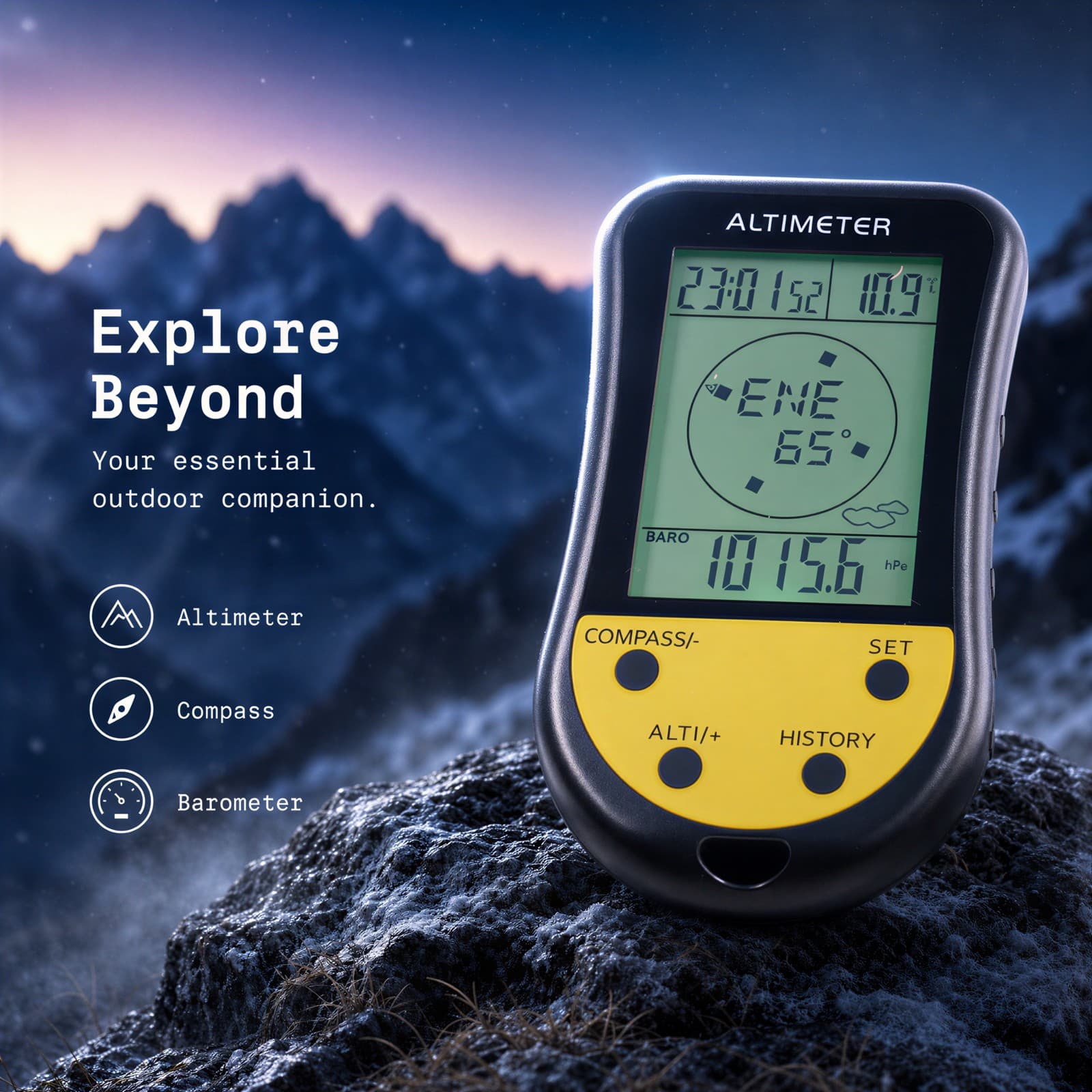
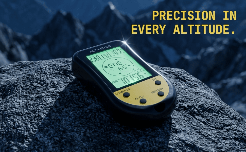
Showcases the handheld altimeter set against a high-altitude mountain peak backdrop during the blue hour, highlighting its crisp screen readings.
Benefit Image
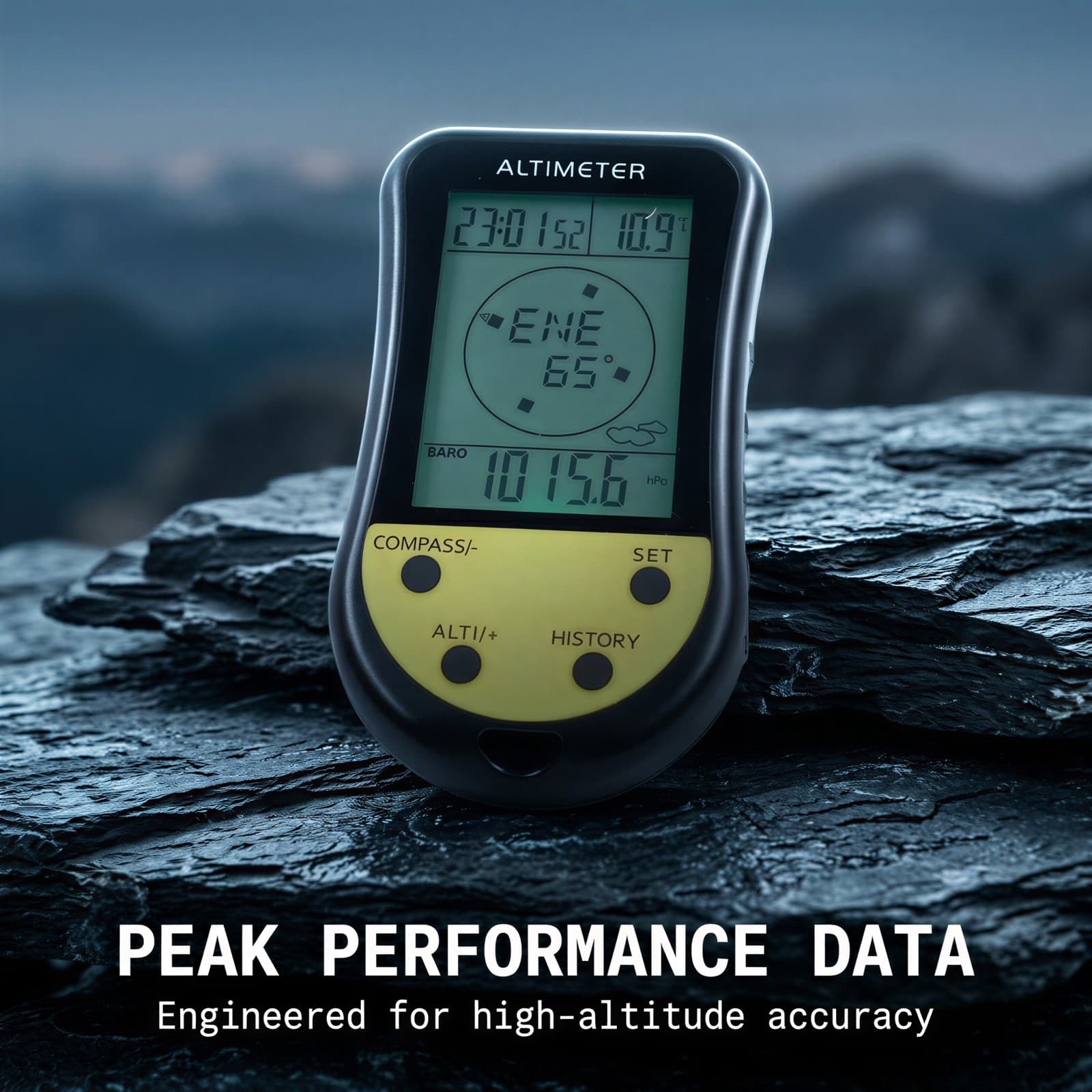
Presents a technical infographic highlighting the core altimeter, barometer, and electronic compass parameters on a micro-environment slate surface.
Scenario Image
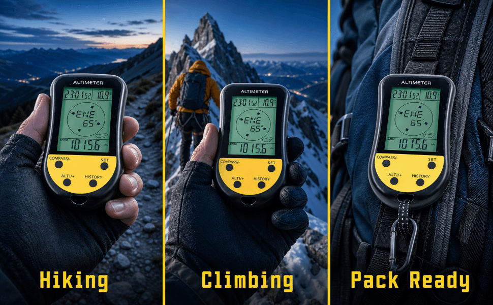
Depicts a close-up lifestyle perspective of a hiker's hand holding the device over a rugged trail, emphasizing real-time utility.
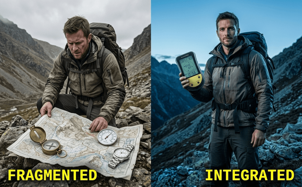
Comparison Image
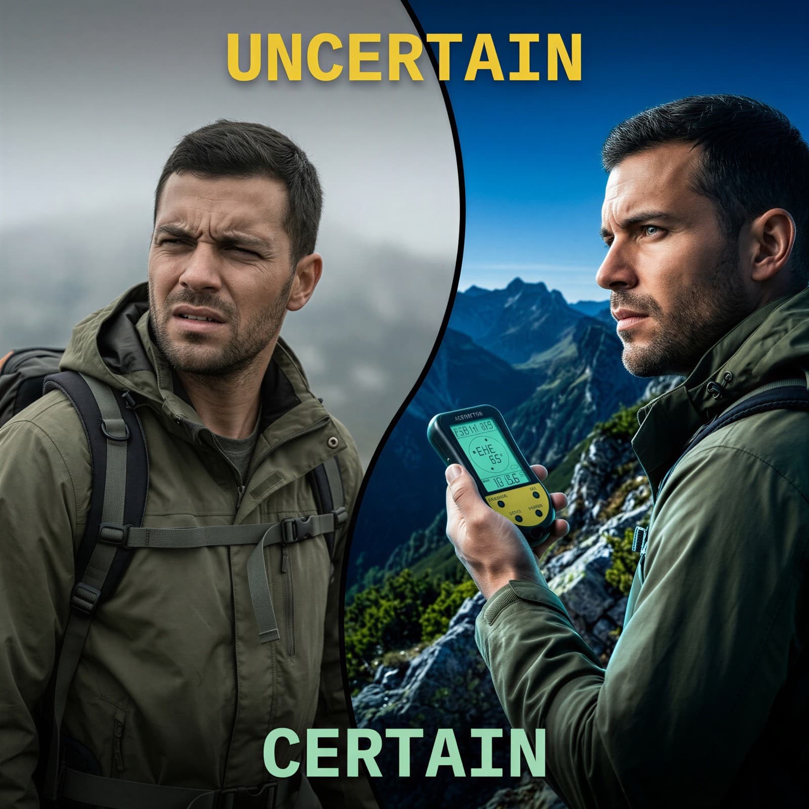
A split-screen comparison showing a disoriented hiker in desaturated conditions versus a confident, altimeter-guided hiker in vibrant terrain.
Multi-Scenario Image
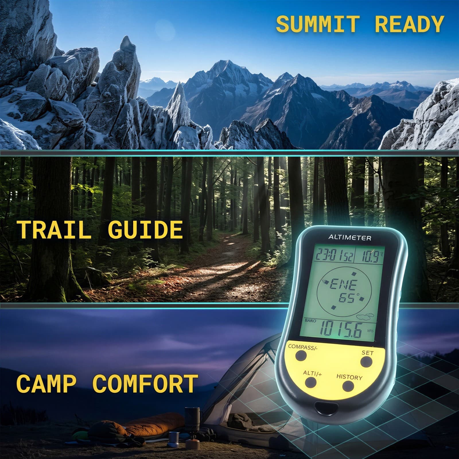
A three-panel panoramic landscape collage demonstrating successful navigation during forest trails, steep mountain climbs, and basecamp twilight.
Detail Image
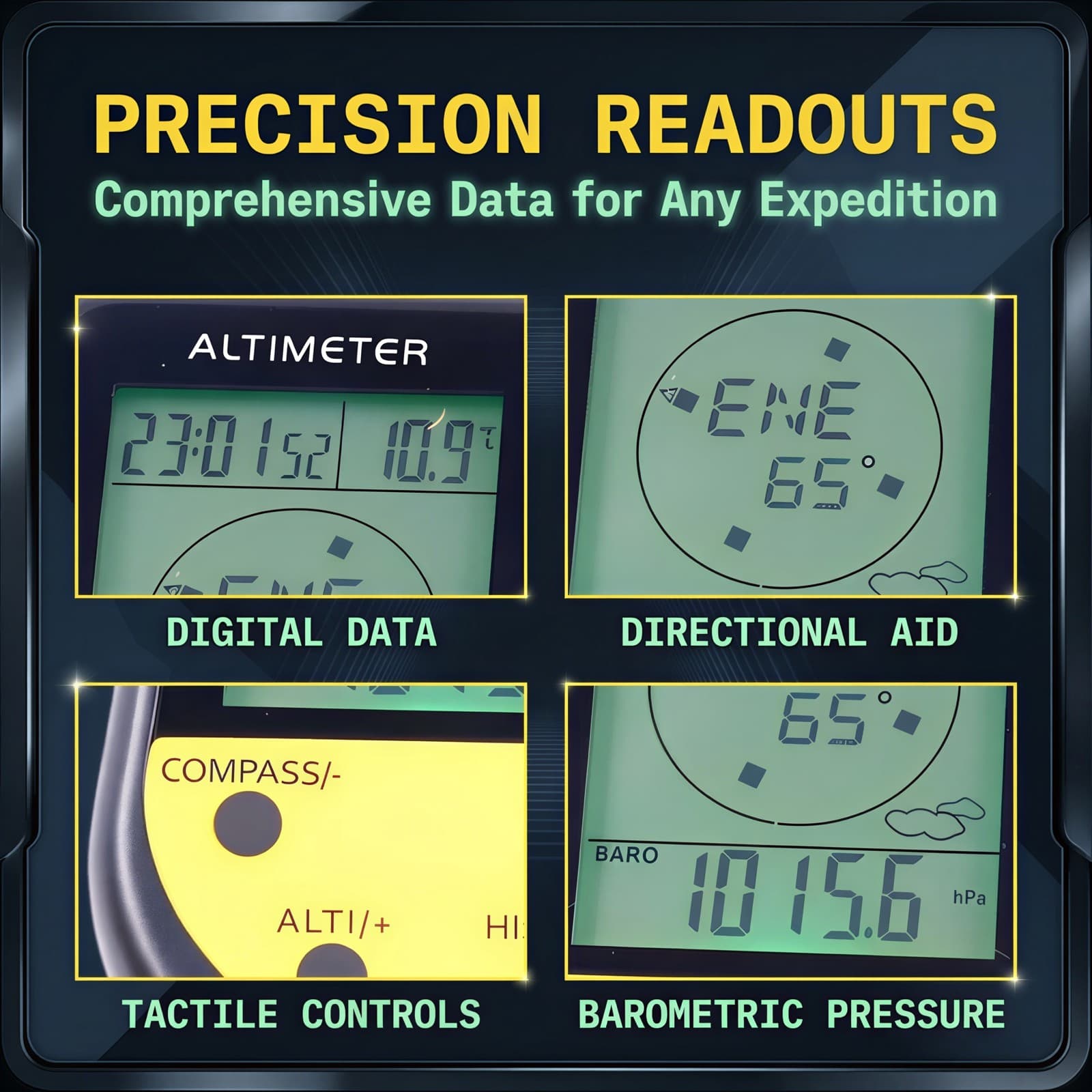
An organized 2x2 technical close-up grid emphasizing details like the LCD clock, compass orientation, grip buttons, and barometric indicators.
Size Image
A clean technical blueprint dimension drawing highlighting the exact 3.7 x 2.1 x 0.6 inch dimensions against a soft studio backdrop.
Checklist Image
A clean, flat-lay package checklist displaying the altimeter unit alongside its included wrist lanyard, manual, and protective packaging.
A+ Image
A wide mountain expedition banner highlighting the device displaying real-time high-altitude tracking data during an active ridge climb.
A+ Image
An educational close-up layout demonstrating how barometric pressure fluctuations accurately predict oncoming trail weather patterns.
A+ Image
A lifestyle shot illustrating the altimeter securely clipped to an outdoor backpack strap using the integrated high-durability lanyard.
A+ Image
A comparative feature matrix table illustrating the massive functional benefits of our 8-in-1 device over standard standalone compasses.
A+ Visual Creation
BeePOP treats every image as an independent module to refine. Under the guidance of the A+ plan, it clarifies image purpose, breaks down execution points, and produces visuals that support the full page conversion goal.
Hero Image
Establish premium product identity and peak performance capabilities in natural outdoor settings.
By placing the device in a dramatic high-altitude twilight environment, we immediately connect the product with serious mountain exploration and peak performance.
- Use top-down rim lighting to make the tactile yellow silhouette pop cleanly against the mountain backdrop.
- Display crisp, high-visibility digital numbers on the screen to assure buyers of immediate readability.
Benefit Image
Introduce the essential 8-in-1 features with professional technical annotations.
Technical buyers appreciate a highly organized, infographic style that details multiple outdoor parameters logically without visual clutter.
- Place the device off-center to maintain balanced negative space for clean, monospace feature callouts.
- Incorporate minimalist functional icons to label crucial values like altitude, bearing, and barometric pressure.
Scenario Image
Simulate hands-on, first-person utility to validate scale, grip, and comfort in cold conditions.
Showing a hiker actively checking the screen while holding the device verifies real-world scale and builds user confidence.
- Position the hiker's hand naturally with the thumb near physical controls to showcase intuitive operation.
- Utilize a soft background blur to keep focal attention fully on the tactile yellow and black housing.
Comparison Image
Drive conversion by contrasting trail anxiety with guided navigational confidence.
Presenting a clear emotional before-and-after contrast effectively taps into the buyer's desire for safety and preparedness on remote journeys.
- Employ an organic S-curve split line to cleanly separate desaturated uncertainty from vibrant clarity.
- Use bold, high-contrast monospace text overlays to visually emphasize the transition from lost to guided.
Multi-Scenario Image
Demonstrate functional adaptability across different altitudes and environmental conditions.
Outdoor enthusiasts face varied terrains. Showing forest, slope, and basecamp applications maximizes perceived product value.
- Construct a panoramic horizontal flow with subtle cyan transitions to preserve structural modern alignment.
- Insert localized action copy like 'EXPLORE CONFIDENTLY' to highlight targeted outdoor use-cases.
Detail Image
Deconstruct mechanical build quality and interface elements to reassure technical buyers.
Providing extreme close-ups of buttons and specific display readings satisfies quality concerns regarding construction and design detail.
- Arrange details in a symmetrical 2x2 grid outlined with thin, sharp safety yellow borders.
- Annotate each panel directly with professional technical labels like 'TACTILE CONTROLS' and 'DIGITAL DATA'.
Size Image
Validate the compact, lightweight physical specifications of the handheld device.
Providing clear dimensions prevents size misunderstandings and assures backpackers that the unit will easily fit their pockets.
- Draft clean double-stroke graphite rails to indicate physical length, width, and depth clearly.
- Maintain a neutral light-gray backdrop with a soft drop shadow to keep the focus strictly on product measurements.
Checklist Image
Provide transparent unboxing details to set accurate delivery expectations and showcase value.
A clear checklist image reduces support inquiries regarding package contents and provides clean professional reassurance.
- Lay out the altimeter, manual, and wrist lanyard symmetrically with equal spacing against a neutral setting.
- Highlight the high-quality textures of each included piece using bright, even studio lighting.
A+ Image
Build trust through high-altitude trail validation in an immersive marketing banner.
A wider, cinematic banner draws users in, validating the product's ultimate purpose at actual peak elevations.
- Integrate high-contrast environmental elements like rugged rocks and cold, mountain air dispersion.
- Position technical altitude data in high-contrast text to reinforce the device's main function.
A+ Image
Demonstrate the critical safety benefits of monitoring barometric weather changes.
Explaining the correlation between air pressure and weather shifts transforms the tool from a basic gadget to survival gear.
- Pair clear screen close-ups with simple weather graphic pointers representing rain, storm, or clear conditions.
- Keep the design informative and highly structured for quick comprehension.
A+ Image
Highlight hands-free hiking convenience and smart equipment integration.
Showing real-life quick-carrying methods helps prospective buyers plan how they will personally transport the device.
- Focus specifically on the wrist lanyard's strength while attached to outdoor gear straps.
- Maintain consistent cool tones to preserve the professional, high-end tactical brand atmosphere.
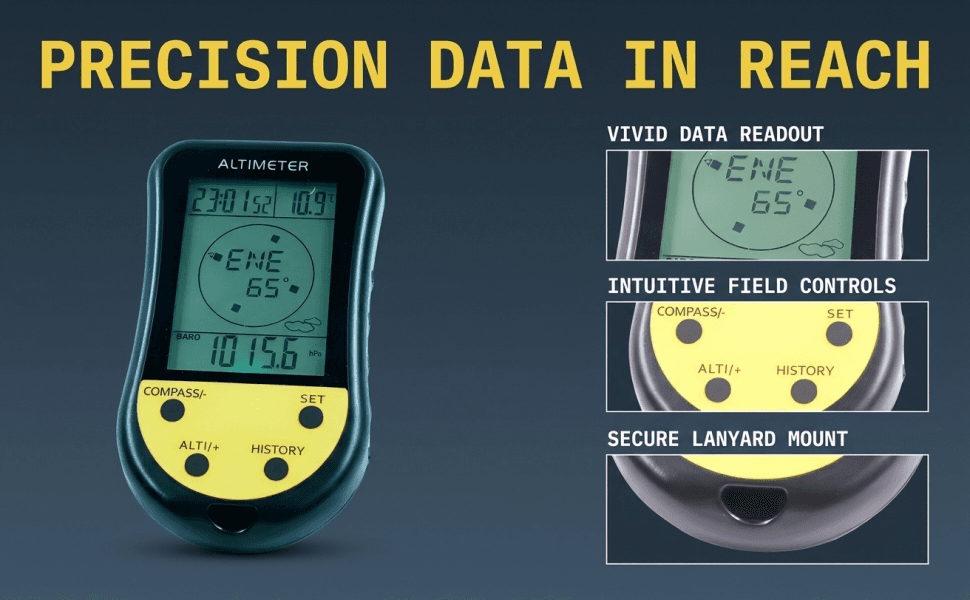
A+ Image
Prove superior product value through a logical side-by-side feature comparison.
A structured comparison chart provides the final logical nudge needed to convert analytical buyers comparing multiple options.
- Design a clear, legible grid comparing multiple capabilities like barometer, compass, and thermometer side-by-side.
- Utilize safety yellow or emerald green indicators to cleanly point out our comprehensive advantages.
FAQ
More Use Cases
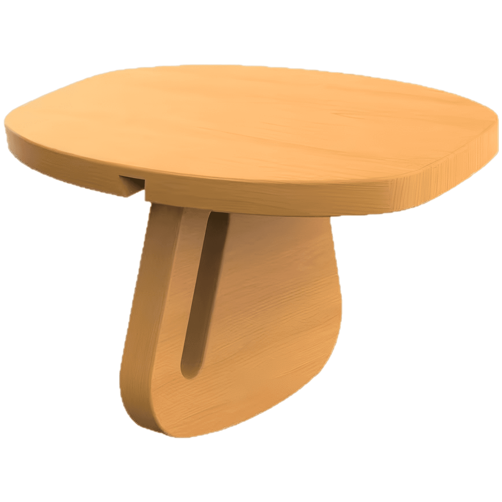
Sports & Outdoors
Premium Pine Wood Meditation Bench
Crafted from natural, smooth pine wood, this detachable meditation bench offers stable, ergonomic support for Seiza kneeling posture, promoting spine alignment and relieving joint pressure for deeper daily focus.
Aug 10, 2026
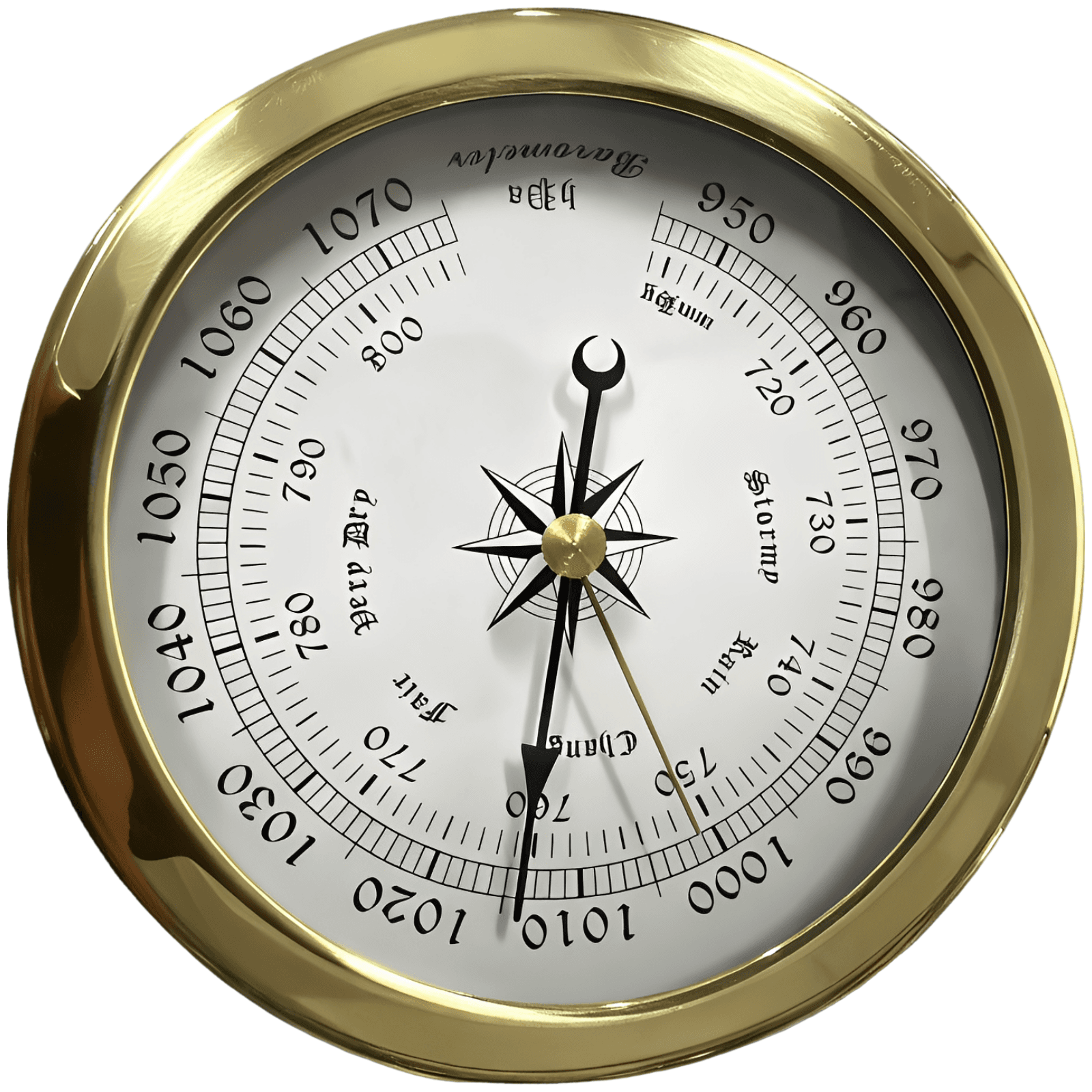
Sports & Outdoors
Maritime Barometer
Track atmospheric trends with absolute confidence. This classic clock-style maritime barometer combines a rustproof stainless steel bezel, precision ±2 millibar accuracy, and traditional weather-state engravings, perfect for both professional marine cabins and coastal home interiors.
Aug 7, 2026